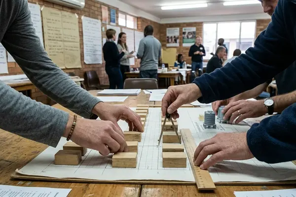
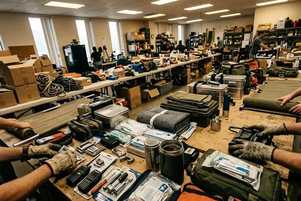
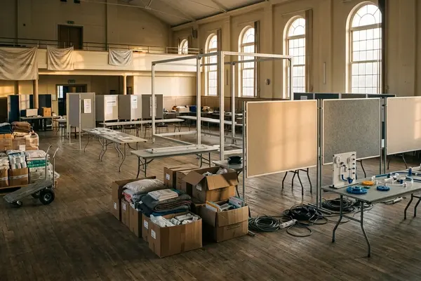
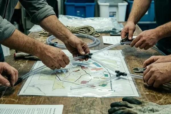
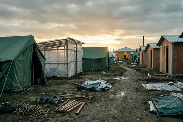
When land is tight, the first planning meeting often turns into a shelter-count exercise. Every open patch looks available. Every unfilled corner feels wasteful. That instinct creates fragile settlements.
Empty Ground Is a Safety Asset
The safest first decision is to preserve unbuilt land. In one compressed-site planning exercise, the team mapped the boundary and blocked out a 15-meter buffer along the primary drainage axis before plotting a single shelter. The buffer protected water movement and kept the only viable sanitation-truck route open.
A grid-fill layout would have accommodated more tents at the start. It also would have choked ambulance access, waste collection, latrine servicing and later adjustments. A settlement changes from the day people arrive, so a plan that consumes every parcel begins with no room to absorb that change.
The Order of Protection
- Secure emergency access and vehicle turning space.
- Establish the main service spine.
- Protect drainage channels and pedestrian routes.
- Hold a flexible reserve for repairs, relocation or expansion.
Protect the Gap
Empty ground performs a job. Mark that job on the plan before pressure for additional shelters makes the space appear expendable.
Map the Ground That Can Actually Be Used
A boundary line describes allocated land. It says little about the usable footprint inside it.
The assessment team in this case walked the perimeter with a clinometer and marked slopes that exceeded safe gradients for latrine construction. They classified ground as immediately buildable, requiring grading or unusable, then overlaid seasonal flood information. That process exposed the clinometer-mapped latrine gradient failures that a desk plan would have hidden.
Fixed constraints include prohibited boundaries, unstable ground and areas exposed to dangerous drainage. Negotiable constraints may include a restricted access point, land awaiting phased approval or a route that could open through a local agreement. Planners should label those categories separately. Otherwise, a temporary restriction can harden into the layout as though it were permanent.
The available case material provides no named location, population figure, site dimensions or measured performance results. Its value lies in the sequence of decisions rather than a transferable specification. The 15-meter buffer belongs to this case; another site requires its own drainage assessment.
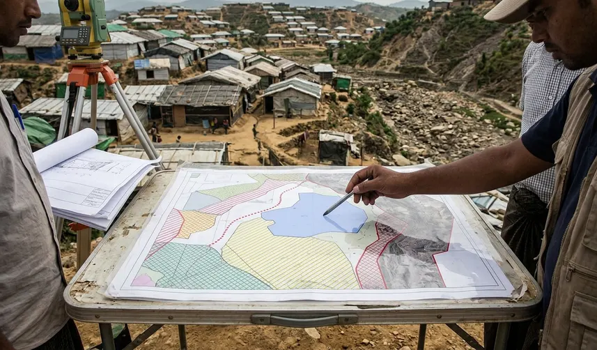
Stake Tanker Access Before Residential Blocks
The logistics team began with a central turnaround radius sized for a heavy water delivery tanker. They connected that turning area to the main access road, checked the approach and only then delineated residential blocks. This reversed the common temptation to fit services around an established shelter grid.
Keep Service Flows from Colliding
Water collection, health referrals, distributions, sanitation maintenance and waste removal generate different movements. Their routes need enough separation to prevent a distribution queue from blocking a tanker or forcing a sanitation crew through a narrow residential lane. The water tanker turnaround radius encroachment should be treated as an operational warning, even when the vehicle can still squeeze through.
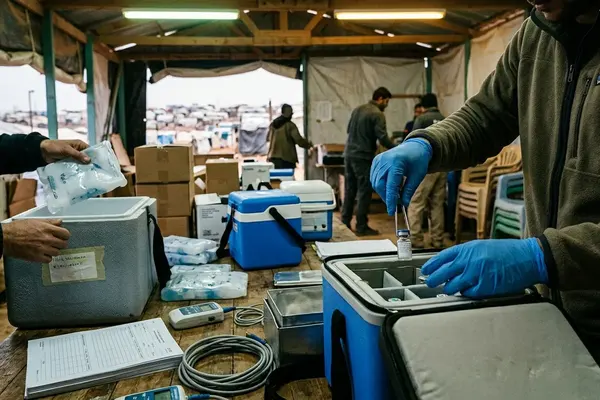
Placement also shapes privacy and safety. A VIP latrine needs a serviceable location, visible walking approaches and appropriate screening. Health facilities require routes that remain usable at night and by residents with limited mobility. If a clinic carries temperature-sensitive medicines, its cold chain deliveries must reach the facility without crossing the busiest pedestrian queue.
Walk the Routes People Will Use Every Day
A clean overhead drawing can conceal a miserable morning journey. Field coordinators tested this layout on foot, walking from the furthest planned shelters to the central tap stands during a simulated morning water distribution.
They timed the round trips and shifted secondary paths where the main intersections were likely to bottleneck. The timing served as a comparison within the draft layout, not a universal performance benchmark. The practical question was simple: where would people carrying water meet queues, vehicles or poor ground?
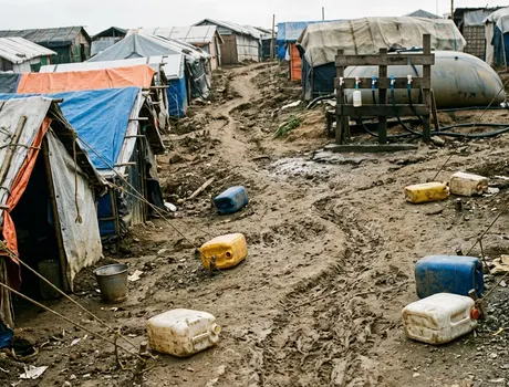
Journeys Worth Testing
- An emergency vehicle entering, turning and leaving while services are active.
- A resident carrying water back to the furthest shelter area.
- A sanitation vehicle reaching latrines without entering crowded footpaths.
- Waste removal during a distribution queue.
- A health referral made after dark.
- Pedestrian movement after heavy rain has filled low points.
Walk each route in both directions. Mark every crossing between vehicles, queues, drainage channels and residential traffic. Those crossings are where minor delays can become blocked access or protection concerns.
Record Every Compromise While It Is Still Visible
As arrivals increased, site managers kept a live ledger whenever a firebreak was narrowed. Each entry named the pressure, the affected block and a mitigation, such as placing additional fire extinguishers in that block. The ledger turned an informal concession into a decision that could be reviewed.
The Working Ledger
| Constraint / Pressure | Layout Compromise | Operational Impact | Required Mitigation |
|---|---|---|---|
| New shelter demand | Narrowing a firebreak | Reduced separation between blocks | Record the affected block, add firefighting equipment and reassess the concession |
| Pressure near the service spine | Encroaching on the tanker turnaround | Restricted water delivery and emergency movement | Remove the obstruction or protect an alternative turning area |
| Service relocation | Moving a collection point | Longer walks and new queue crossings | Walk the revised routes before opening the service |
| Demand for more plots | Building near the drainage axis | Standing water and blocked maintenance access | Retain the drainage buffer and redirect plot expansion |
| Future occupancy pressure | Closing the expansion edge | No space for rerouting or temporary facilities | Keep the reserve strip physically marked and assigned |
Reassessment should begin when service areas become inaccessible, standing water persists, emergency routes are blocked, crowding becomes unsafe or queues repeatedly conflict with residential movement. A register matters only when those warning signs trigger action.
Keep the Eastern Edge Ready for the Next Shock
The planning committee left a continuous strip along the eastern perimeter undeveloped. It could support emergency rerouting, drainage repairs, temporary clinic expansion or phased growth. Its continuity mattered because scattered leftover pockets could not provide the same route or service footprint.
Some land constraints exceed what layout adjustments can solve. A government may cap the settlement boundary and require immediate high-density occupation of every allocated parcel. At that point, planners must pursue adjacent land, reduce occupancy pressure or assess another site. Drawing smaller gaps between shelters does not create operational capacity.
I would defend the reserve strip through every shelter-count review. Never consume the final flexible area to raise the initial shelter count; keep it open for the settlement’s next failure, repair or essential change.