In this Article
- Why the first occupied layout remains provisional
- How daily movement exposes protection concerns
- A sequence for converting feedback into site decisions
- Market boundaries and surrounding circulation
- Safe access to child-friendly spaces
- Distribution queues, exits, and return routes
- Lighting based on evening movement
- Verification after the communal network changes
Keep the First Occupied Layout Provisional
Resident protection feedback should influence where markets operate, how children reach designated spaces, where distribution queues form, and which routes receive lighting first. These decisions work as a connected system. Moving one boundary can redirect pedestrians toward another queue, service road, or poorly visible path.
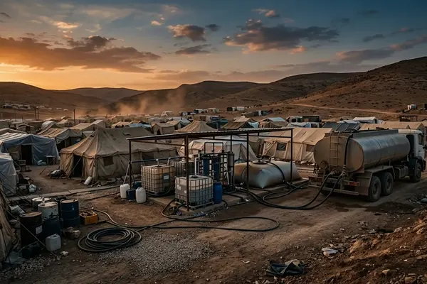
The first occupied camp layout therefore functions best as a working draft. Site planners can establish shelter blocks, access roads, and provisional communal plots before arrival, yet forecasts cannot fully reproduce the movement patterns that emerge once residents begin collecting water, seeking services, trading goods, accompanying children, and carrying supplies back to shelters.
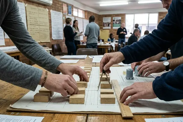
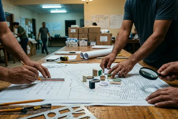
A nearly 48- to 72-hour initial occupancy observation window gives field teams an early view of these routines. During that period, drafted CAD pathways can be compared with the informal paths residents actually create. Divergence often points to a practical destination, an inconvenient turn, or a spatial conflict between shelter areas and communal services.
Provisional communal plots retain 10-meter minimum clearance zones while this review takes place. That reserve gives planners room to adjust a boundary or circulation edge before surrounding uses harden into place.
Preserve Adjustment Space
Early clearance around communal plots is operational capacity. Once stalls, fences, queues, and service traffic occupy that margin, even a modest correction becomes harder to execute.
The strongest redesigns examine the whole communal network. A market entrance, child-friendly-space approach, distribution exit, and evening sanitation route may share the same junction. Treating each facility as an isolated adjustment leaves that junction unresolved.
Movement Reveals What the Drawing Conceals
Protection concerns become more legible after occupancy because people test the plan through daily use. Commercial activity attracts foot traffic. Distribution points generate waiting lines and return journeys. Service vehicles require turning space. Children and caregivers choose routes according to visibility, effort, and perceived safety.
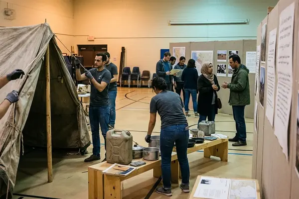
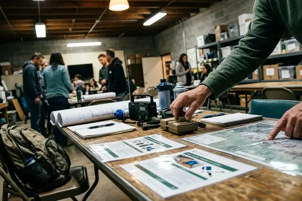
Field coordinators can map informal paths and observe where queues cross high-traffic pedestrian routes. The method does not require extrapolating an unsupported level of resident agreement from a few comments. It combines the location of a reported concern with direct observation of how the space functions.
Peak movement observations between 06:00 and 08:30 and between 16:00 and 18:00 cover periods when competing uses are easier to see. Tracking pedestrian flow across the four communal zones in this review—the market, child-friendly space, distribution areas, and connecting routes, keeps attention on the interfaces between them.
A conflict may appear when a distribution queue extends into a through-route. Elsewhere, commercial deliveries may overlap with heavy pedestrian movement, or a commonly used evening path may fall outside the first lighting priority. The blueprint can show adequate area while missing these timing conflicts.
The available case information does not identify a particular complaint channel. Any review record should therefore distinguish direct observation, reported concern, and planning interpretation rather than blending them into a single category called resident feedback. That distinction preserves traceability when teams later ask why a boundary moved or a route received priority.
Convert Feedback into a Site Decision
A 14-day revision cycle over a short pilot provides a defined period for reviewing communal-space adjustments. The purpose is disciplined triage: identify the conflict, test the feasible responses, and record a decision that can be checked after implementation.
Use a Five-Step Review Sequence
- Fix the concern to a place and time. Mark the relevant junction, entrance, queue edge, route segment, or service boundary. Record when the conflict appears rather than treating it as continuous.
- Observe the activity where feasible. Watch the approach, waiting pattern, crossing movement, and departure flow during the relevant operating period.
- Identify affected users. Consider children, caregivers, people carrying bulk supplies, vendors, pedestrians using through-routes, and residents travelling to water or sanitation facilities.
- Test operational constraints. Cross-reference topography, water access, and existing shelter footprints before drawing a revised boundary.
- Record the decision and verification point. State what will change, which concern it addresses, what trade-off remains, and where follow-up observation will occur.
Feedback should be organized around the four documented planning decisions: market configuration, child-friendly-space access, distribution flow, and lighting priority. This structure prevents a long comment list from obscuring relationships among facilities.
Prioritization begins with the severity of the protection concern and the frequency of exposure. Teams then consider the number and diversity of users affected, implementation feasibility, and the chance that a proposed change will move the same conflict into another sector.
A strict grid-based relocation of informal vendors was considered as a response to congestion. It was rejected because maintaining that arrangement would require constant policing. The alternative retained the established movement pattern and created more room around it, a useful example of operational feasibility changing the preferred geometry.

Set the Market Edge Around Its Full Operating Cycle
Market placement affects much more than the position of stalls. Goods arrive, delivery vehicles turn, vendors occupy footprints, customers gather, waste accumulates, and nearby service routes continue to carry their own traffic. All of these activities draw from the same limited communal space.
The market review traces that operating cycle from delivery to waste handling. Delivery turning radii and stall footprints define the active commercial area more accurately than a perimeter drawn around sales tables alone. Waste points matter because unmanaged spillover can narrow circulation even when the formal market boundary remains unchanged.
The revised configuration establishes buffer zones approaching 15 meters between market stalls and main arterial routes. Commercial deliveries are assigned to low-pedestrian hours, reducing the overlap between vehicle movement and peak foot traffic without requiring the market to stop functioning.
Test the Boundary at Its Interfaces
- Do market entrances direct customers into a distribution queue?
- Can pedestrians continue along the arterial route when trading activity reaches its operating edge?
- Can delivery vehicles turn without occupying emergency access?
- Where does waste handling occur relative to service routes?
- Does activity continue after available lighting declines?
These questions also guard against displacement. Pulling stalls away from an arterial path may clear that route while compressing customers near a distribution exit. Delivery restrictions may reduce one conflict but create another if goods wait beside a shelter boundary. The revised plan should show where each activity goes, not merely where it must leave.
Plan the Journey to the Child-Friendly Space
A child-friendly space can be technically available and still remain difficult to use. Caregivers evaluate the entire journey: the path from the shelter block, crossings near commercial activity, service traffic, distribution queues, blind corners, and the visibility of the entrance.
Protection officers assess these conditions by walking approach routes from different shelter blocks during morning, midday, and late-afternoon operating hours. A route that appears clear at midday may meet delivery traffic or a distribution queue later in the day.
The planning requirement calls for a clear sightline of upward of 50 meters from main pedestrian pathways to the facility entrance. That sightline supports orientation and allows the approach to be assessed before a caregiver or child reaches the boundary. Structures, stall extensions, stored materials, and vehicle positions can all interrupt it.
Assess the Approach
Review the entrance from the route a child and caregiver will actually use. A clear interior does little to address a blind corner or congested crossing outside the gate.
When a child-friendly space sits too close to a busy commercial artery, field teams might shift the entrance to face a quieter residential block or install temporary fencing to deflect delivery carts. If the terrain behind the facility drops into a flood-prone depression, moving the structure is impossible. In that scenario, coordinators stand at the disputed junction, mark a new pedestrian crossing, and instruct vendors to pull their stalls back, carving out a safe corridor where children can walk without dodging supply vehicles.
This constraint illustrates why feedback needs an operational test. A concern may justify action while topography determines which action can be sustained.
Design Distribution from Arrival to Return
A distribution point consists of five spatial phases: arrival, waiting, collection, exit, and return transit. Concentrating on the handover area overlooks where residents spend much of their time and how they move once carrying supplies.
The sequence starts outside the gate. Arrival routes should lead people toward the waiting area without cutting across the exit flow. Waiting space needs enough definition to prevent the queue from spreading into a main pedestrian route. Shade can affect whether people remain within that area or seek cover along adjacent boundaries.
Entry and exit gates are physically separated by at least 20 meters. Exit routes maintain a minimum width of 3 meters so residents carrying bulk supplies can move without being forced into single-file bottlenecks. These dimensions should be checked against obstructions, turning points, and the route back to shelter blocks.
Follow the Load After Collection
Return transit often changes the preferred route. A person carrying a bulky package may avoid narrow passages, sharp turns, dense market crowds, or uneven ground that posed little difficulty on arrival. Mapping only inbound movement misses this difference.
Resident feedback after occupancy helps identify where the planned sequence breaks down. The record should connect a concern to an observed phase, such as a queue entering a through-route or an exit feeding directly into commercial traffic, without creating testimony that the case file does not contain.
Accessibility also belongs in each phase. A clear collection desk cannot compensate for an obstructed approach or a return route narrowed by temporary storage. The redesign should examine arrival, waiting, collection, exit, and return as one continuous movement chain.
Place Lights on the Routes Used After Dusk
Lighting priorities should follow evening movement and reported concern locations. Uniform geometric spacing offers a starting pattern, but actual routes determine where useful coverage is required.
WASH and protection teams overlay resident-reported evening transit routes with essential destinations, including latrines and water points. The same network connects shelters with markets, distribution areas, and child-friendly spaces. High-priority evening corridors receive solar luminaires at 30-meter intervals at one site, subject to placement conditions on the ground.
Nighttime inspections take place just over one hour after sunset. At that point, observers can identify shadow zones cast by shelters, market structures, fences, or newly placed facilities. Pole position and luminaire angle can then be adjusted around the obstruction rather than accepted from the daytime plan.
Mounting locations must provide maintenance access. Power reliability, changing pathways, and vegetation or structures that interrupt light all affect whether the installation remains functional. A newly widened path may also shift pedestrians beyond an earlier lighting line.
Lighting reduces specific route hazards and improves visibility; broader protection risks still require operational, spatial, and community measures. For that reason, a lighting plan should record the destination served, the observed movement period, the shadow conditions, and the maintenance route for each priority segment.
Verify the Revised Communal Network
The documented output is a revised relationship among the market, child-friendly space, distribution points, and lighting priorities. Verification asks whether that relationship works better during the routines that first exposed the conflict.
Physical alterations are outputs: a shifted market perimeter, an adjusted entrance, separated distribution gates, a widened exit route, or a reprioritized lighting corridor. Outcomes concern use. They include reduced exposure to congestion, more usable routes, and access that residents experience as safer. Those outcomes require follow-up evidence.
Compare the Same Friction Points
A nearly 30-day post-implementation monitoring period allows field teams to revisit the four revised communal intersections. Baseline and follow-up pedestrian conflict counts should cover the same locations and comparable operating periods. Otherwise, a lower count may reflect a quieter observation window rather than a meaningful spatial change.
- Queue duration: Record how long waiting extends and whether the queue remains within its planned area.
- Pedestrian conflicts: Count crossings or blockages at the previously identified friction points.
- Route obstruction: Note stalls, stored materials, vehicles, waste, or temporary structures that reduce usable width.
- Functional light coverage: Inspect priority locations upward of one hour after sunset and document shadow zones.
- Nighttime movement: Observe whether residents use the intended corridor between shelters and essential services.
- Resident-reported concerns: Compare concerns by location and time while preserving the collection method recorded in the case file.
Check the Junction
A change has succeeded only when follow-up at the original friction point shows improvement without matching congestion appearing at the next entrance, queue edge, or path.
On an evening follow-up, an observer stands at one of the revised intersections an hour after sunset. The market edge is visible on one side, the distribution return route on the other, and the lit path continues toward water and sanitation facilities. The observer watches where feet turn, where carried supplies need room, and where shadows begin, then marks the next site decision on the working plan.